September 5, 2015, Saturday – Bottleneck Inlet to Kakushdish Harbour

Since we aren’t having much luck catching salmon, we’ve decided to move on this morning. It’s still raining, but there isn’t any fog or wind, so we set out for Kakushdish, a full day’s run from here.

We had smooth seas all the way, which made for a pleasant trip. A whale in Finlayson Channel caused us a bit of excitement, when he surfaced about 20 feet off our bow, just long enough for us to get a glimpse of him, and then disappeared. We held our breath, waiting for what seemed like an eternity, not knowing where he was, and hoping he wouldn’t be right under us when he surfaced again, or flipped that powerful tail. After about 5 minutes, there wasn’t any sign of him, so we continued on to Kakushdish.

KakushdishSept2015-89-

September 4, 2015, Friday – Bottleneck Inlet, Roderick Island

It’s raining off and on when I set out paddling this morning. I paddled for a long time without seeing any critters, when I noticed something moving on the rocks. It was the sparrow of some sort scurrying over the rocks, looking for the treats offered at low tide.

BottleneckSept201-14

BottleneckSept2015-13-IMG_3368_edited-1

BottleneckSept2015-30-IMG_3373_edited-1

Al went fishing for salmon again this morning. This time he was able to catch a small one, just big enough for one meal.

September 3, 2015, Thursday – Bottleneck Inlet, Roderick Island

We are luxuriating in the calm waters of Bottleneck Inlet this morning. The sun is shining and there’s just a gentle breeze blowing. This is what cruising is supposed to be, not storm force winds and Victory at Sea.

KhutzeSept2015-1-IMG_3237_edited-1

After all the trauma yesterday, I slept in. Low tide wasn’t until 1030 hrs, so I could afford to eat breakfast before going for my paddle. I headed for the end of the inlet first, where the creek comes in, hoping to spot a bear. There weren’t any bears, but in the shallows, I did spot this Dungeness crab feeding on a salmon head.

BottleneckSept2015-11

As I was heading out toward the entrance, I spotted this solitary loon.

BottleneckSept2015-10

BottleneckSept2015-16

He was obviously a very friendly loon. He waved at me.

BottleneckSept2015-7

On my way back to the boat, Al was on his way out to go salmon fishing. There were lots of salmon jumping, but that doesn’t always mean you can catch them. Instead, Al got lots of bites and caught two, but they slipped off the barbless hook before he could land them. He went out again after dinner for a couple of hours, but never even got a bite. Oh, well.

September 2, 2015, Wednesday – Meyers Narrows Cove to Bottleneck Inlet, Roderick Island

We don’t have far to go today, and we’ll be in protected waters.  Yay!  It’s rainingwhen we leave, but there’s no wind to speak of.  The skies are rather ominous as we reach Boat Bluff.

MeyerstoBottleneck2015-13-IMG_3216_edited-1

I spotted an eagle feeding on a rock.

MeyerstoBottleneck2015-10-IMG_3200_edited-1

MeyerstoBottleneck2015-8-IMG_3194_edited-1

MeyerstoBotleneck2015-9-IMG_3196_edited-1

There’s been so much rain lately, that there were lots of waterfalls along the way, including this one just across from Bottleneck Inlet.

MeyerstoBottleneck201-21-IMG_3233_edited-1

September 1, 2015, Tuesday – Kiln Bay, Chapple Inlet to Smither’s Cove, Helmcken Inlet, to Meyer’s Narrows Cove

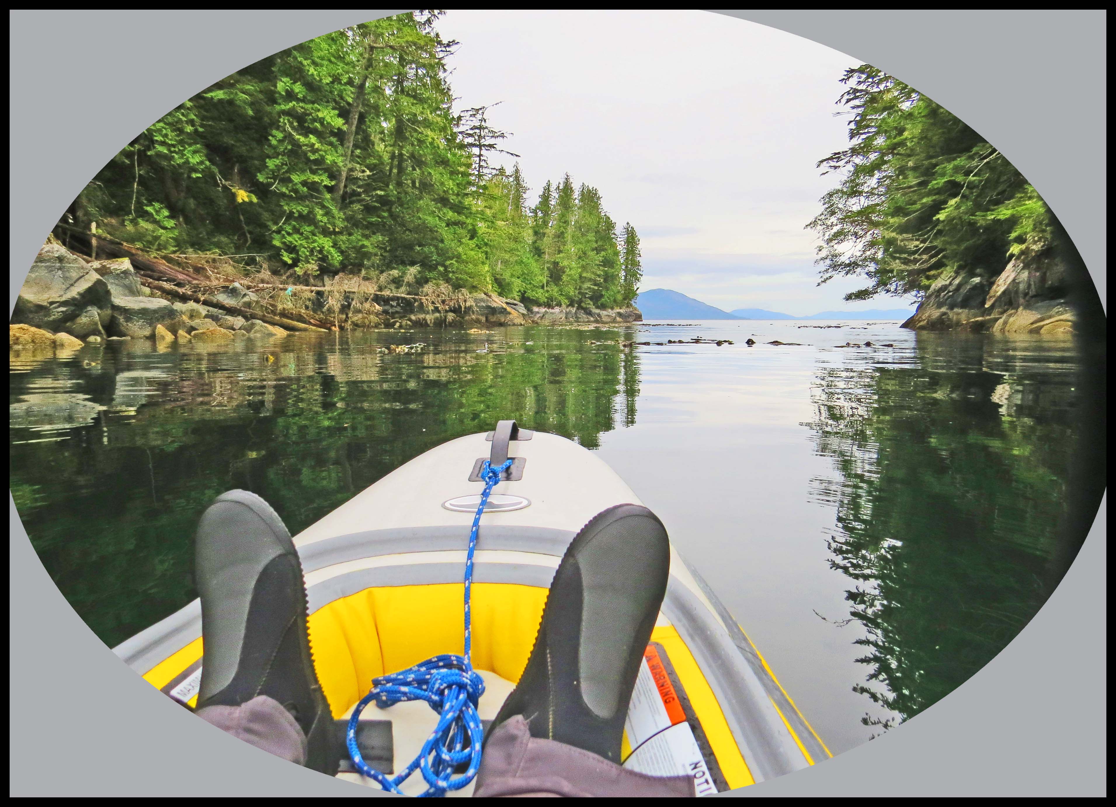
We’re up at 0530 hrs so that we can be underway at first light. There isn’t any fog, the wind is only blowing about 5 to 10 knots out of the north, the current will be going with us, the forecast is for light and variable winds, and Helmcken is only 16 miles south of here. What could go wrong?

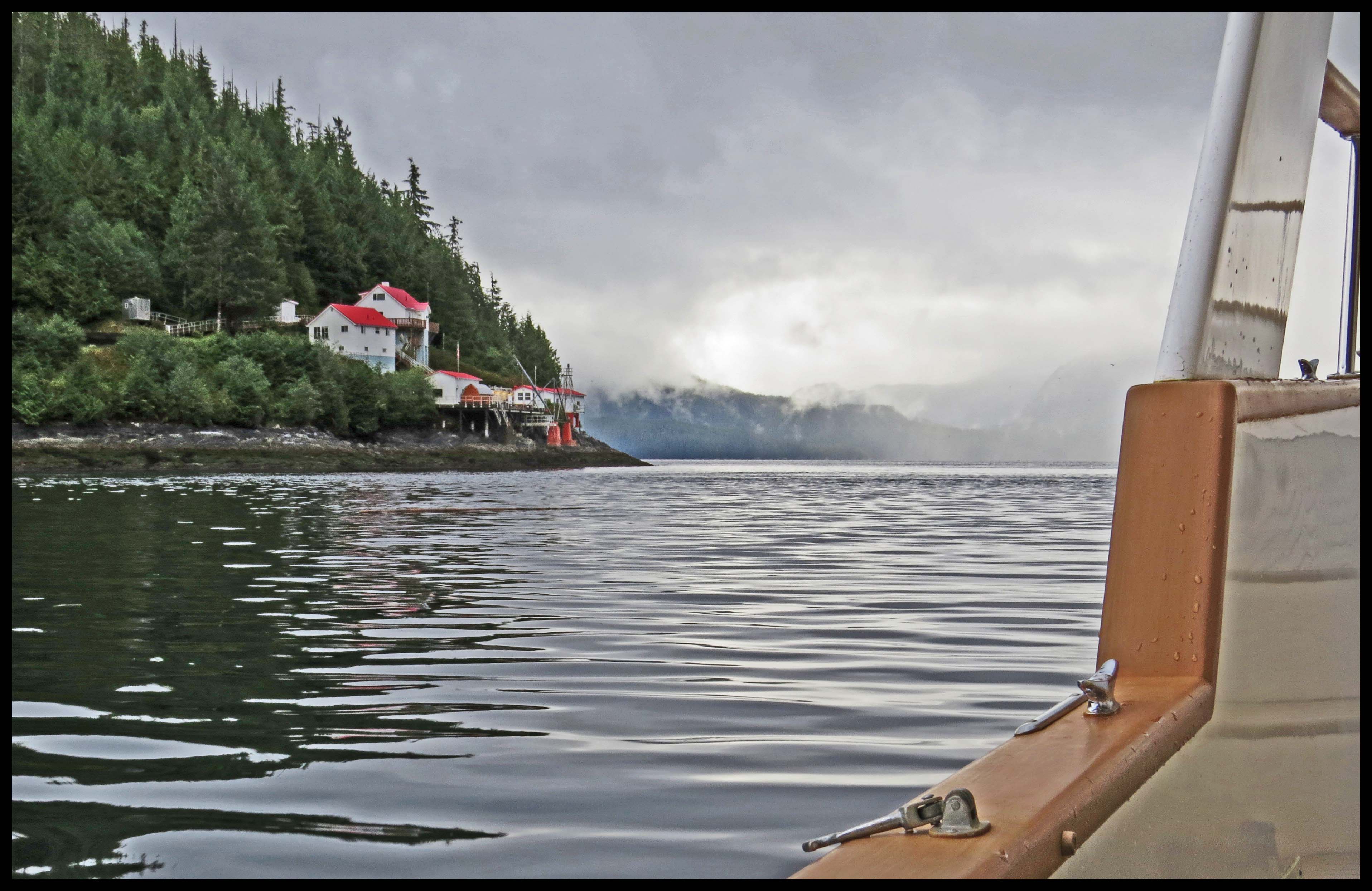
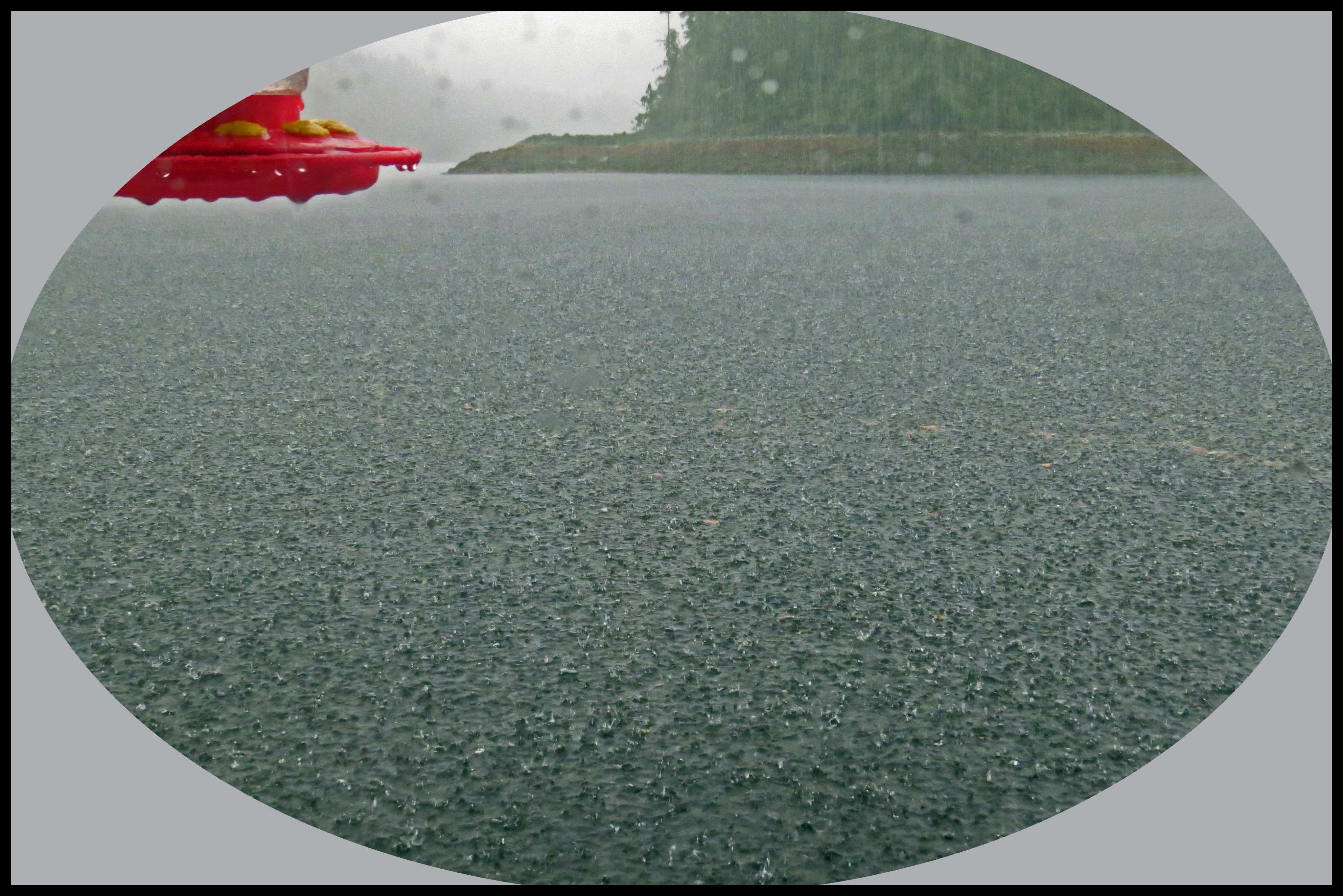
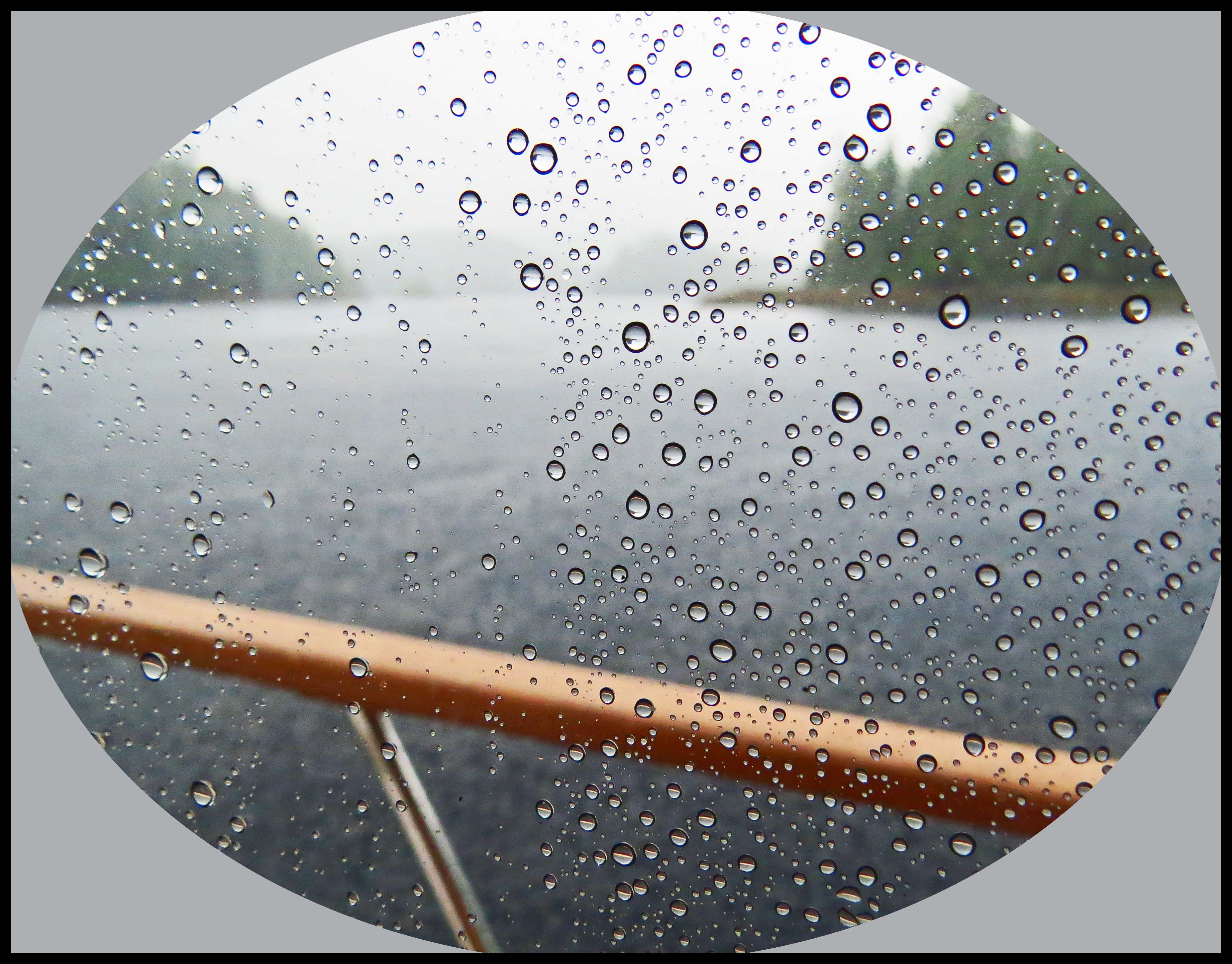
We had about 10 knots of wind by the time we got to the entrance to Chapple.  However, when we started crossing Surf Inlet, the seas started getting a little lumpy as we crossed Surf Inlet. Then, the wind started gradually building. Pretty soon, we were seeing a steady 30 knots of wind, with gusts to 55 knots! So much for weather reports.  By the time we got to Helmcken, the seas were huge. Helmcken is not the greatest place to weather a storm, because it’s very deep, and the bottom is rocky; but we had no choice. We decided to check out Smithers Island Cove, at the entrance to Helmcken, since we’d never anchored there.

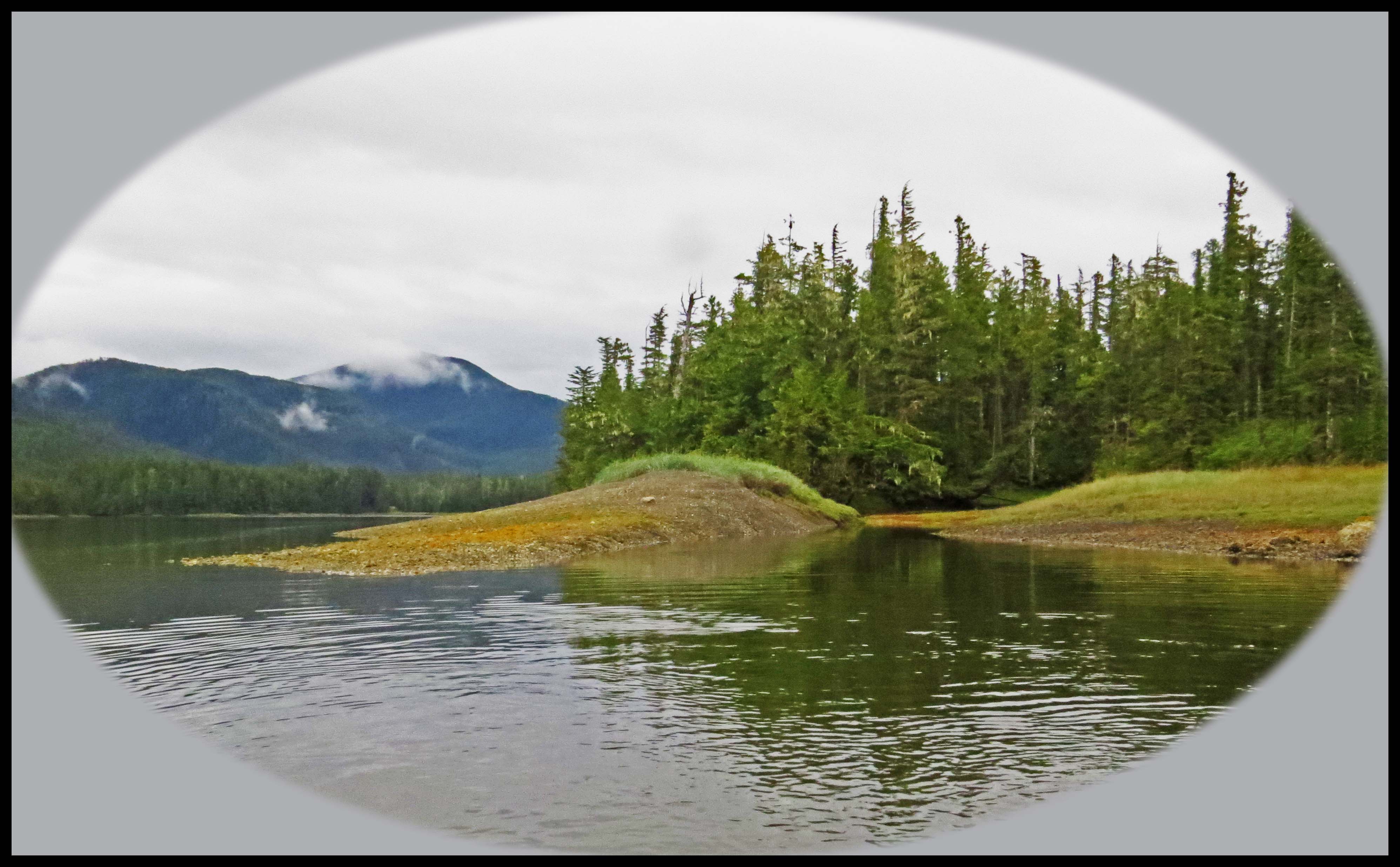
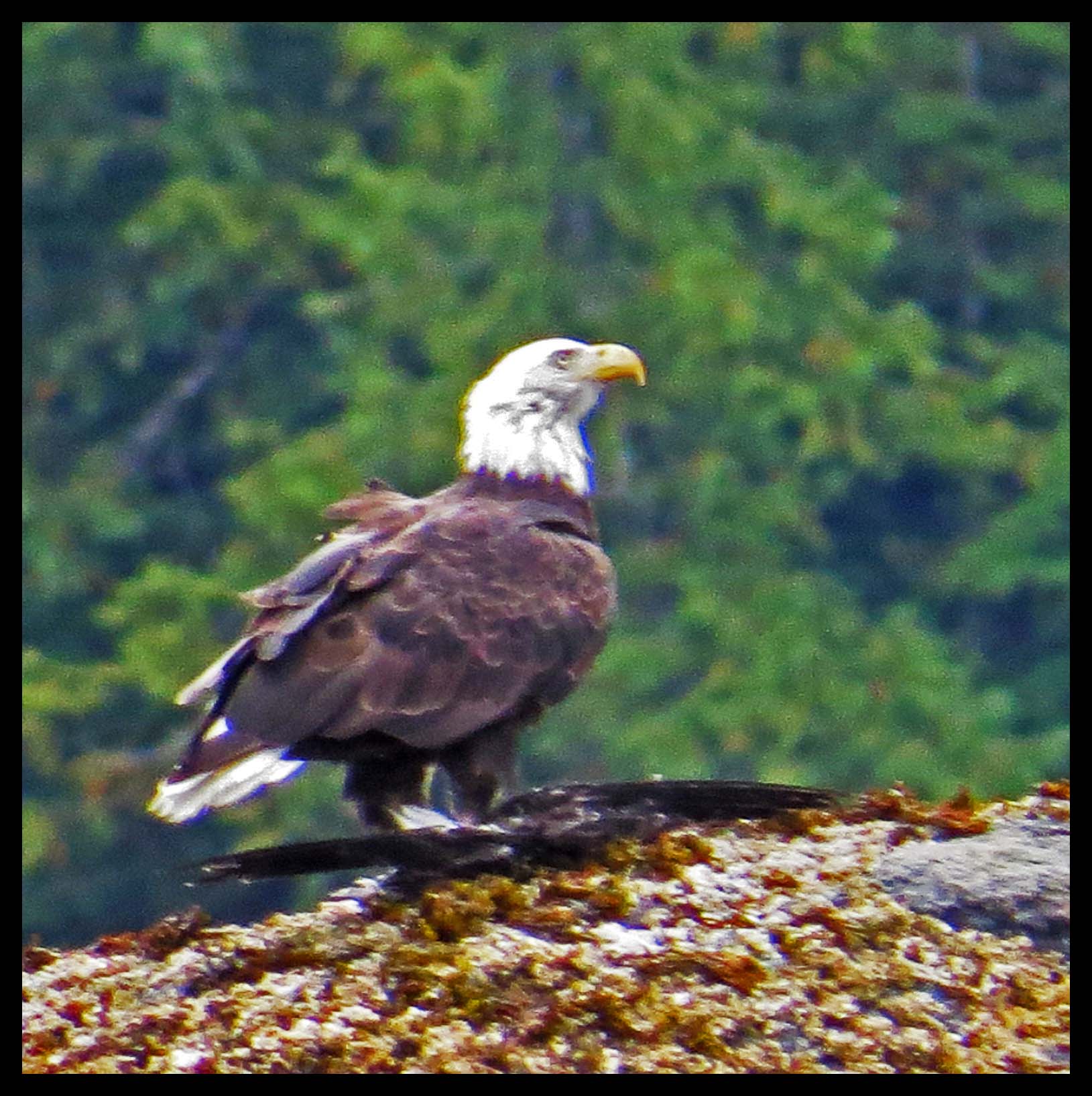
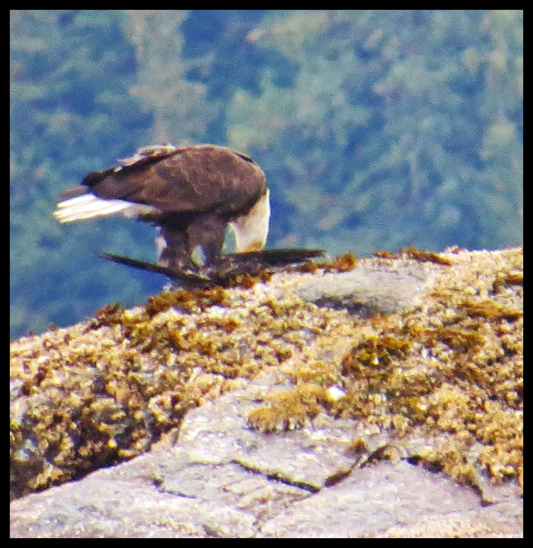
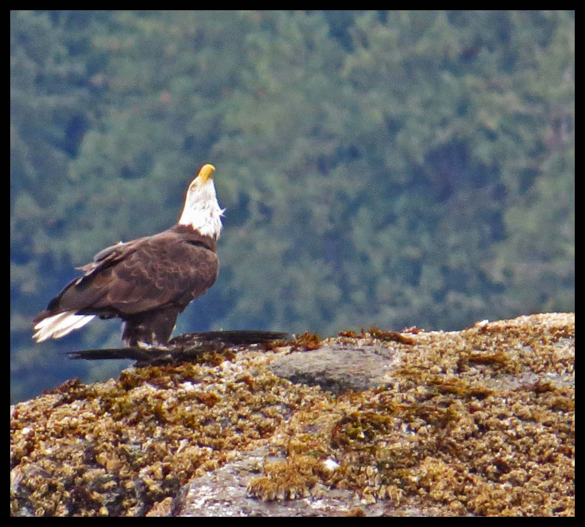
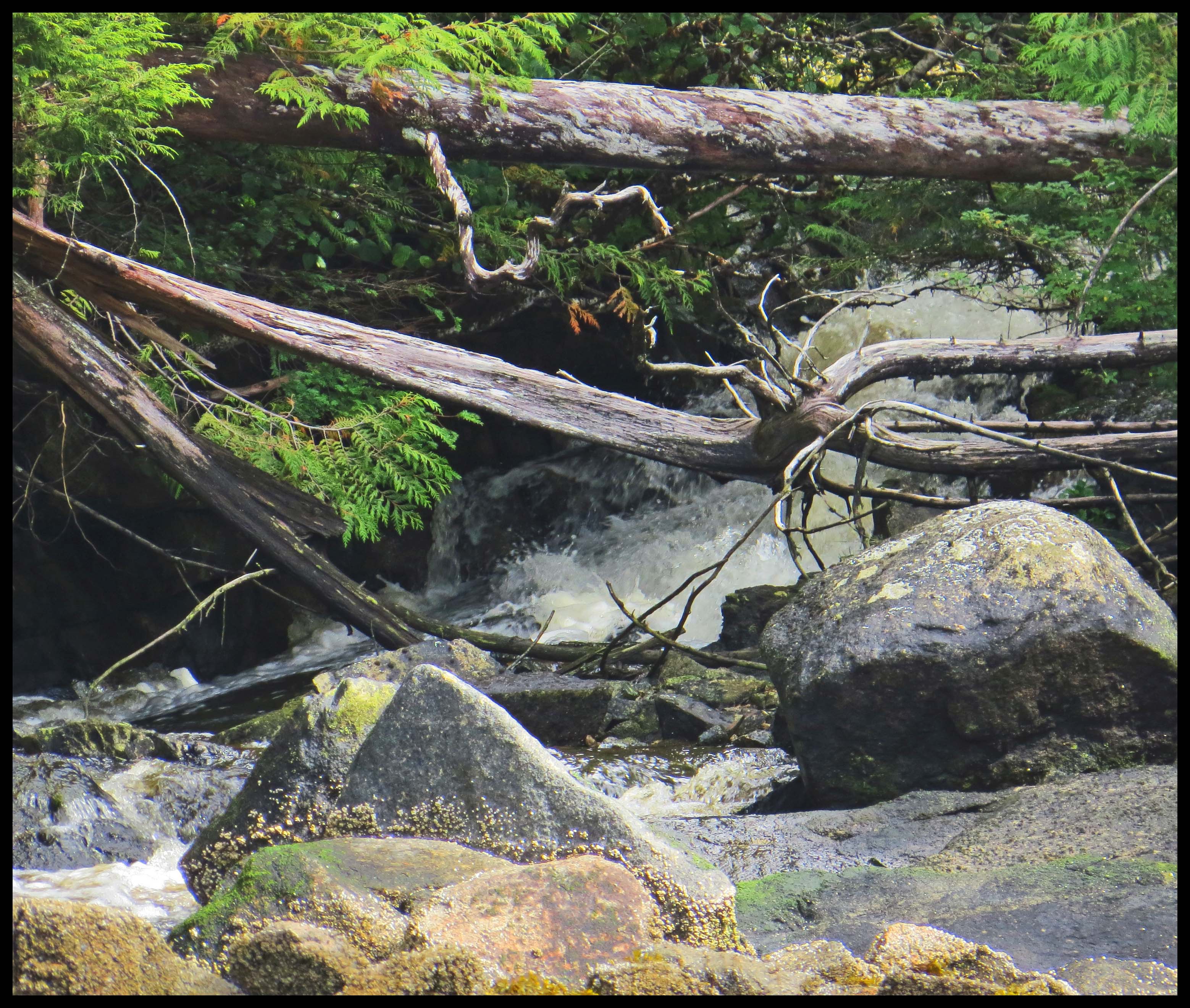
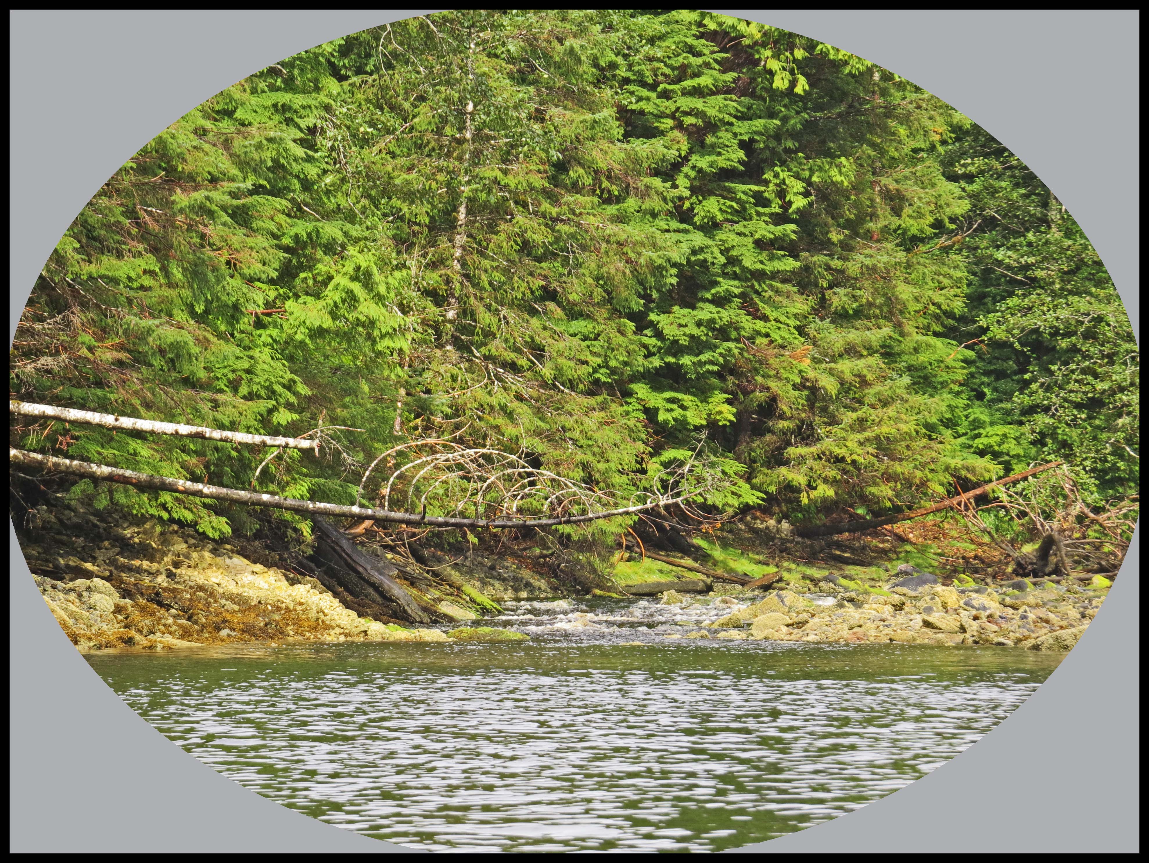
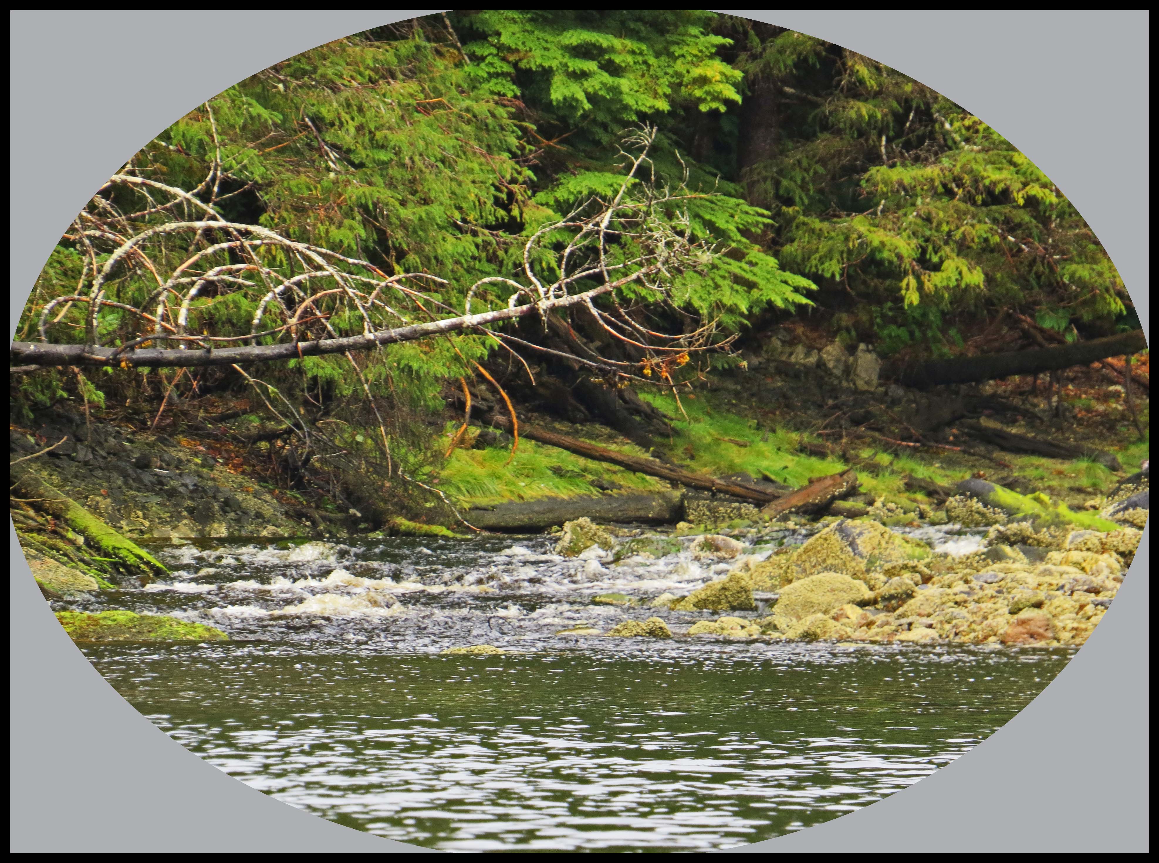
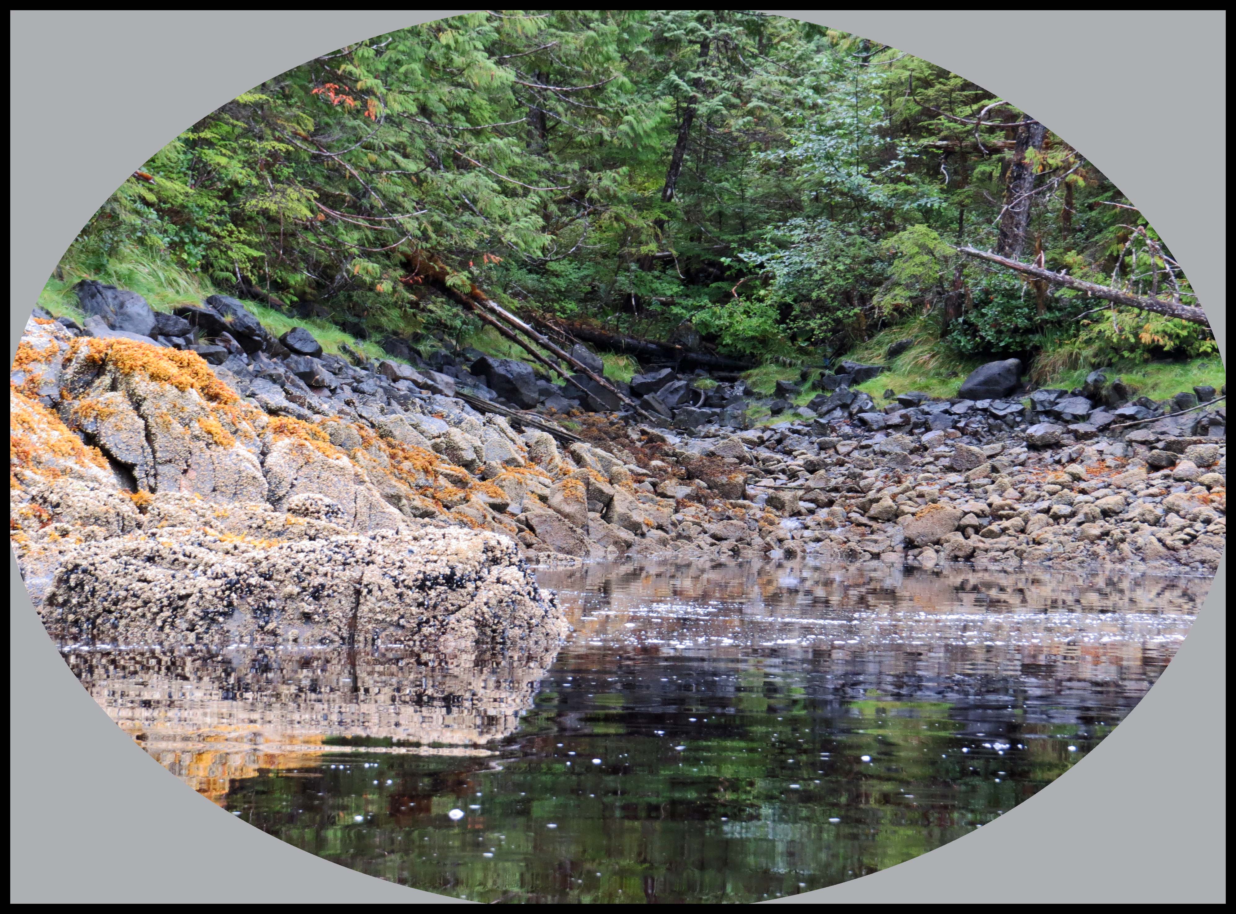
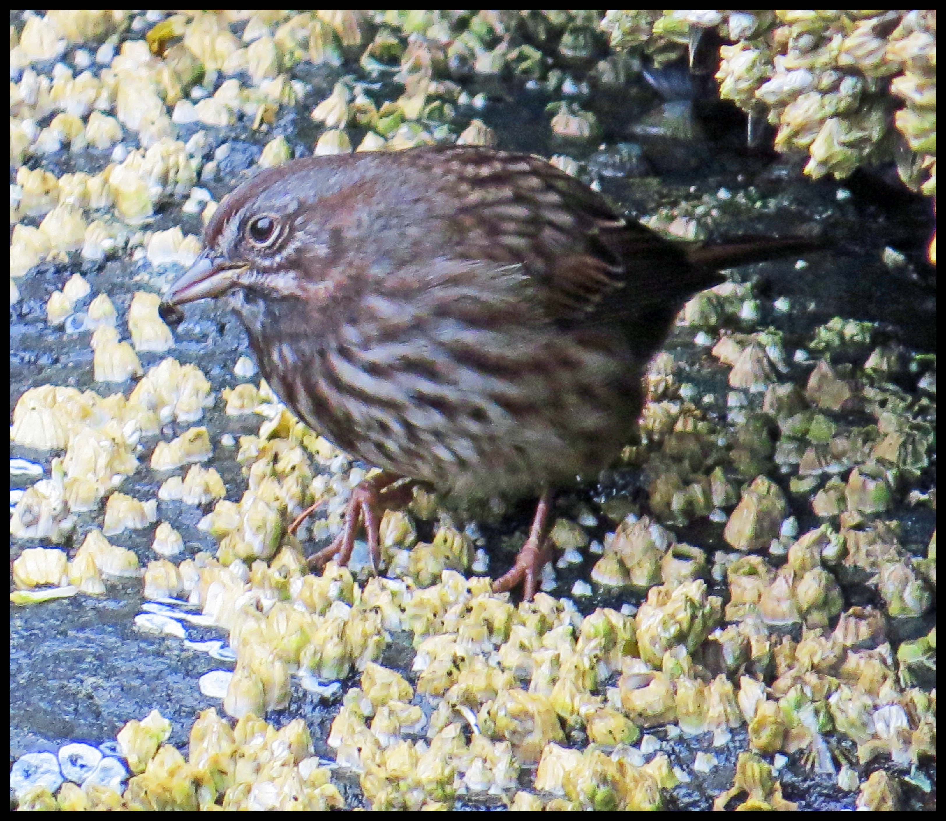
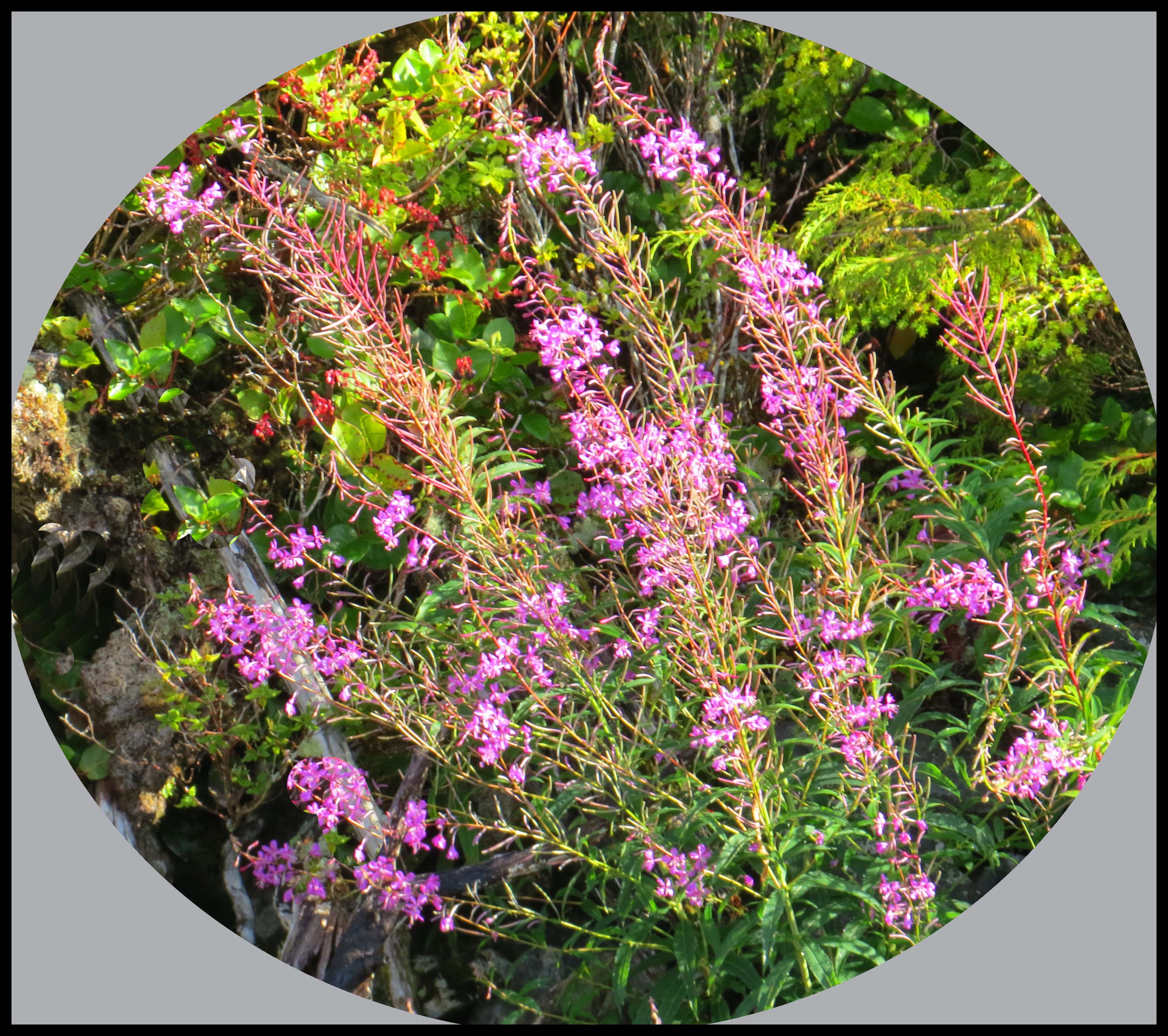
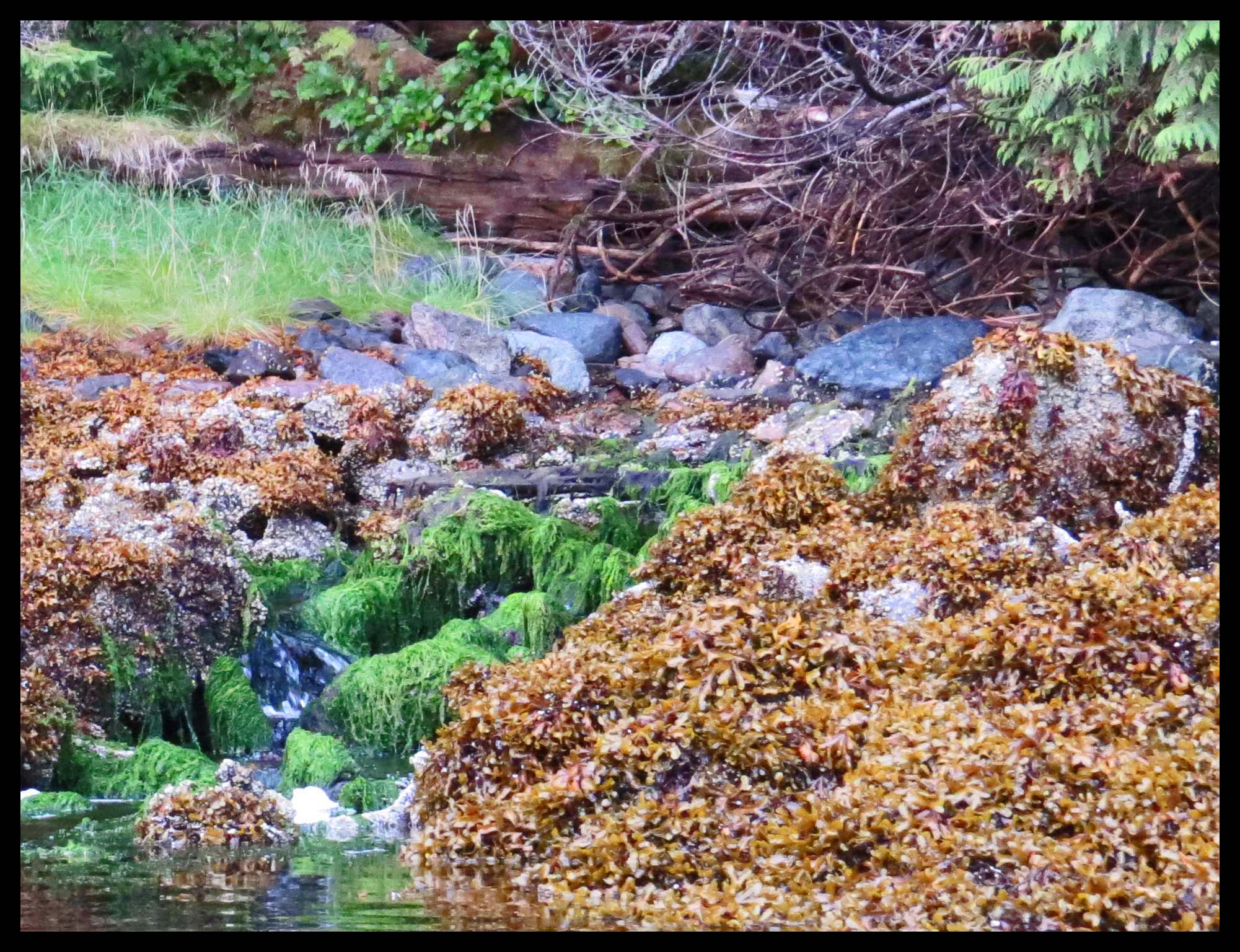
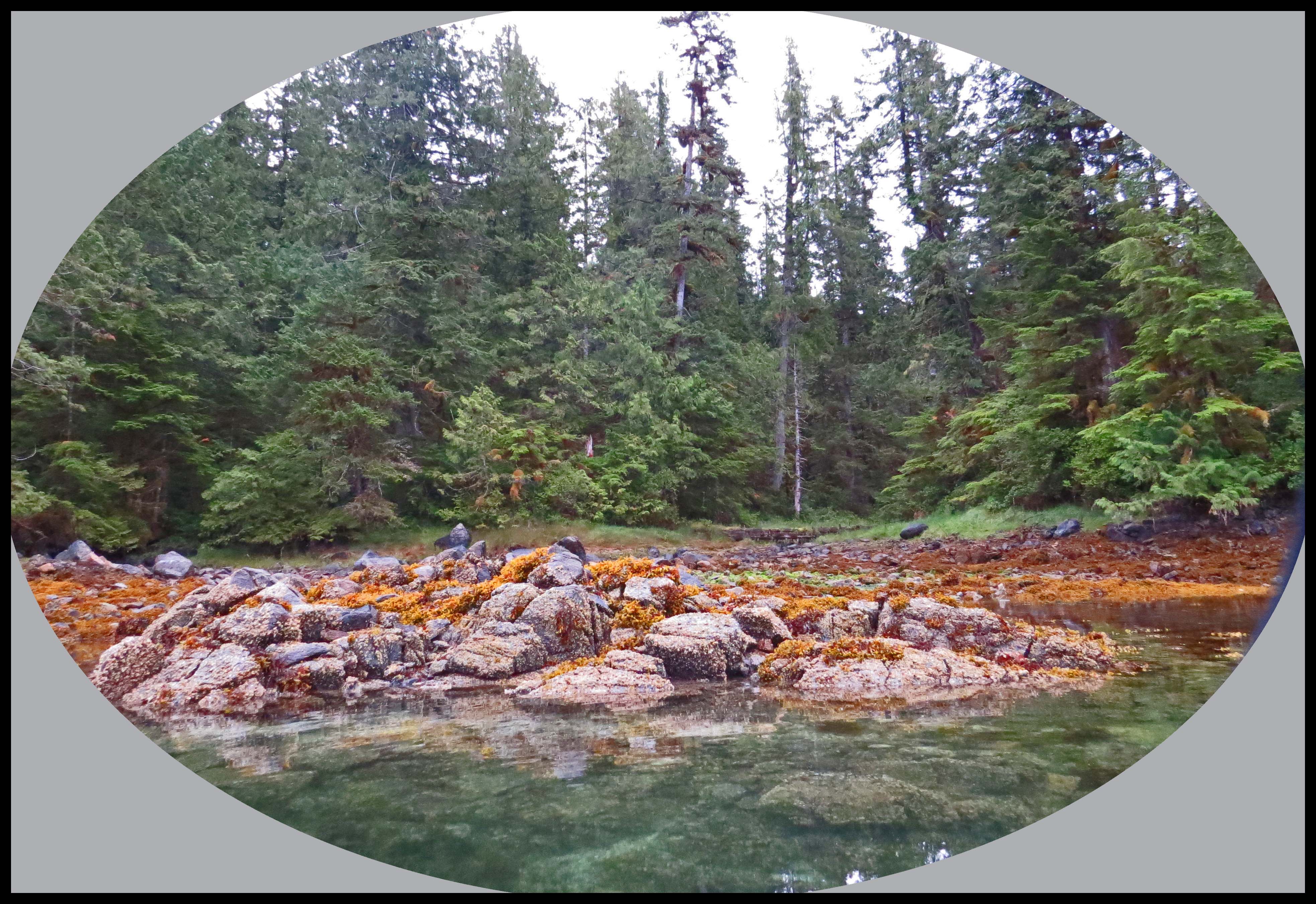
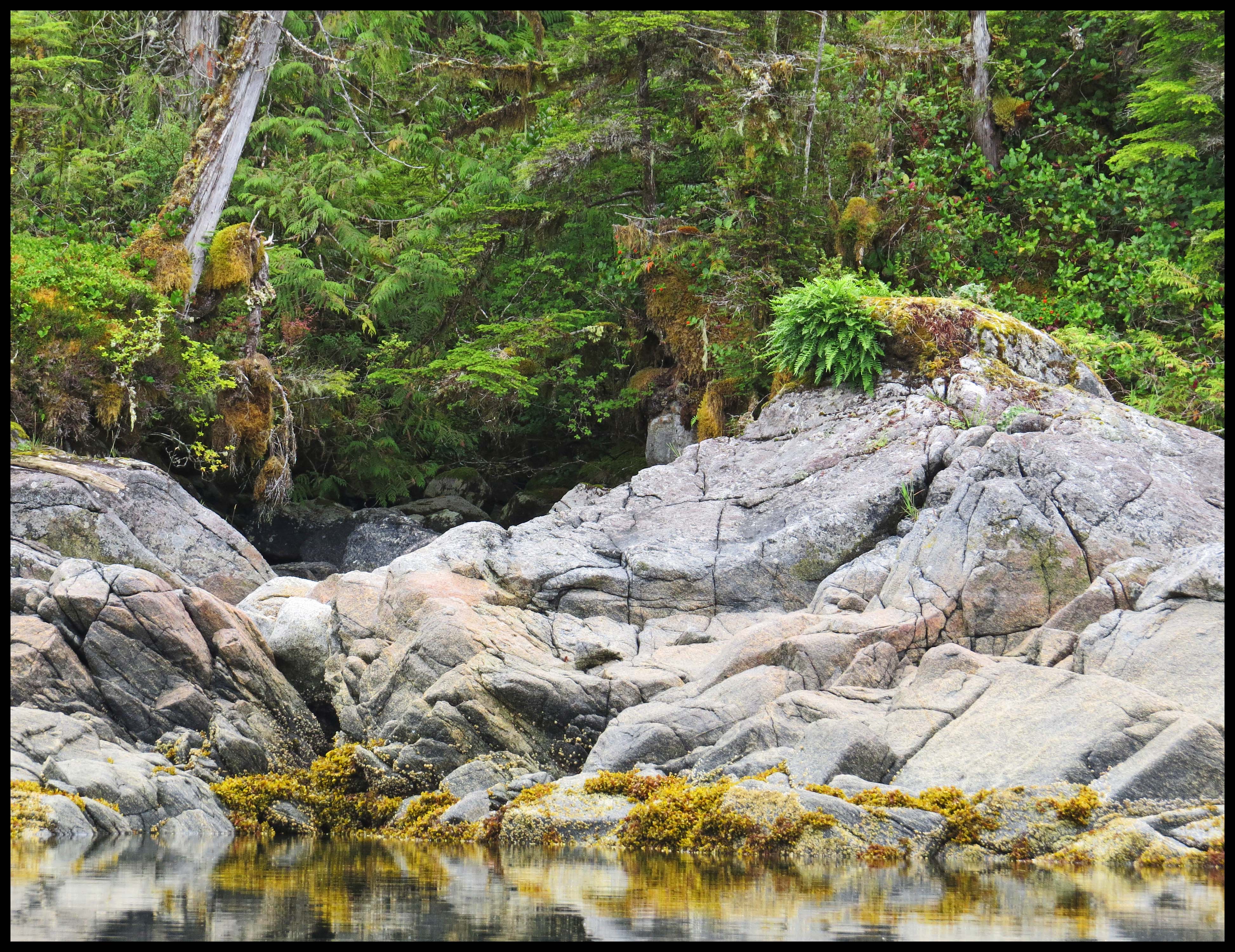
Smithers was very pretty, with a lovely creek at the head — a good lunch stop.

Smither's2015-2-IMG_3167_edited-1

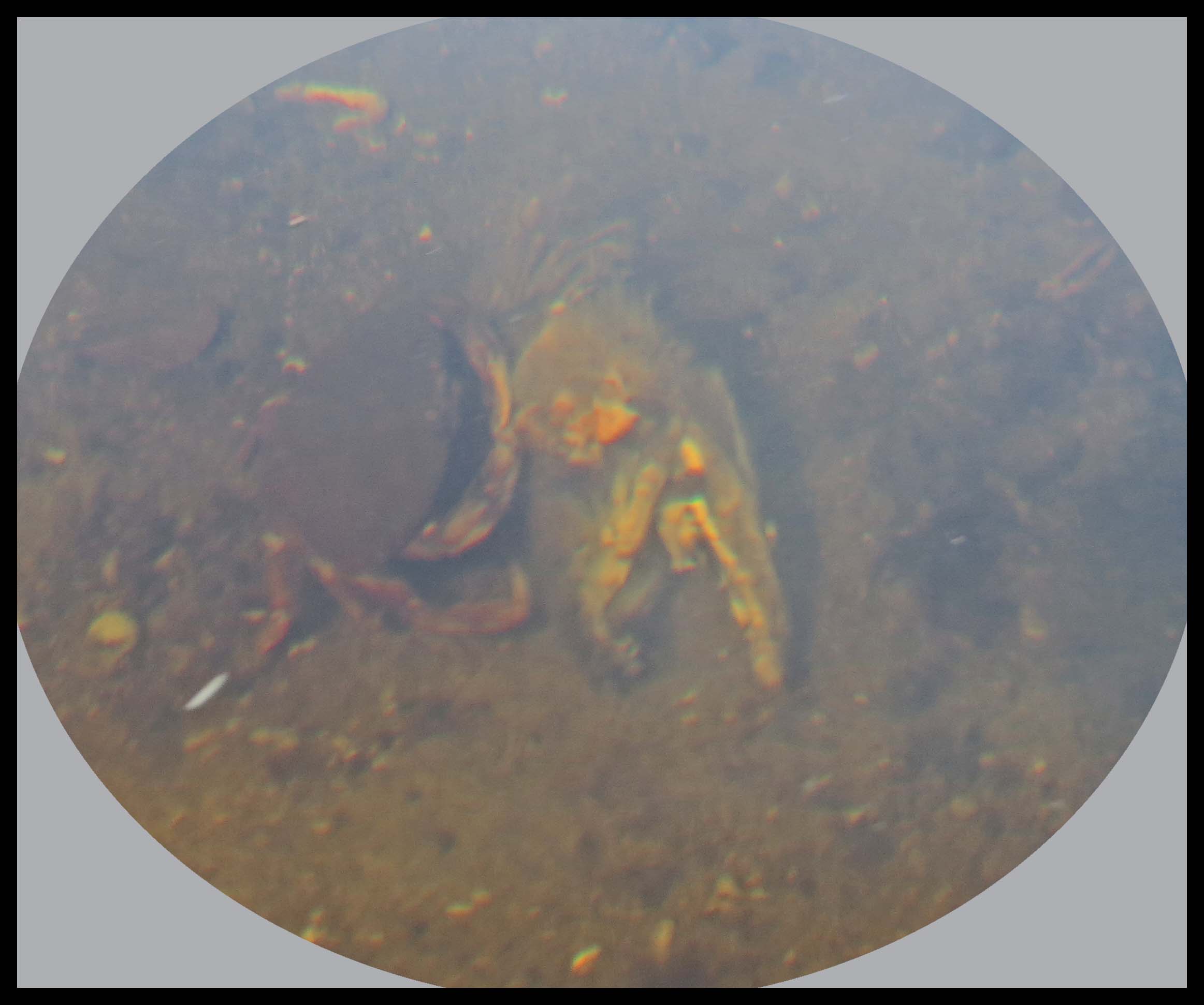
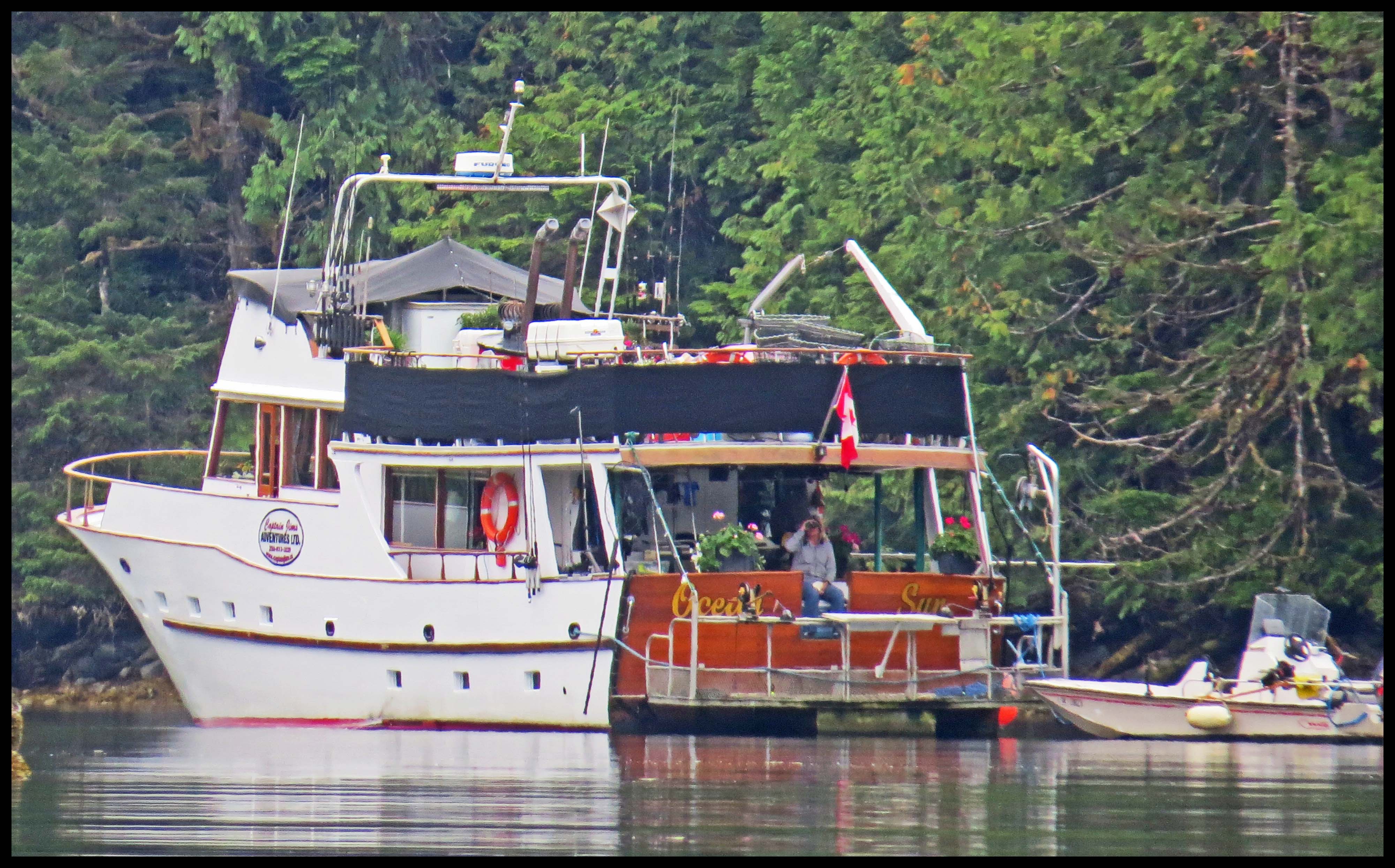
We set our anchor and Al fixed a delicious lunch of crab soup and beer bread.
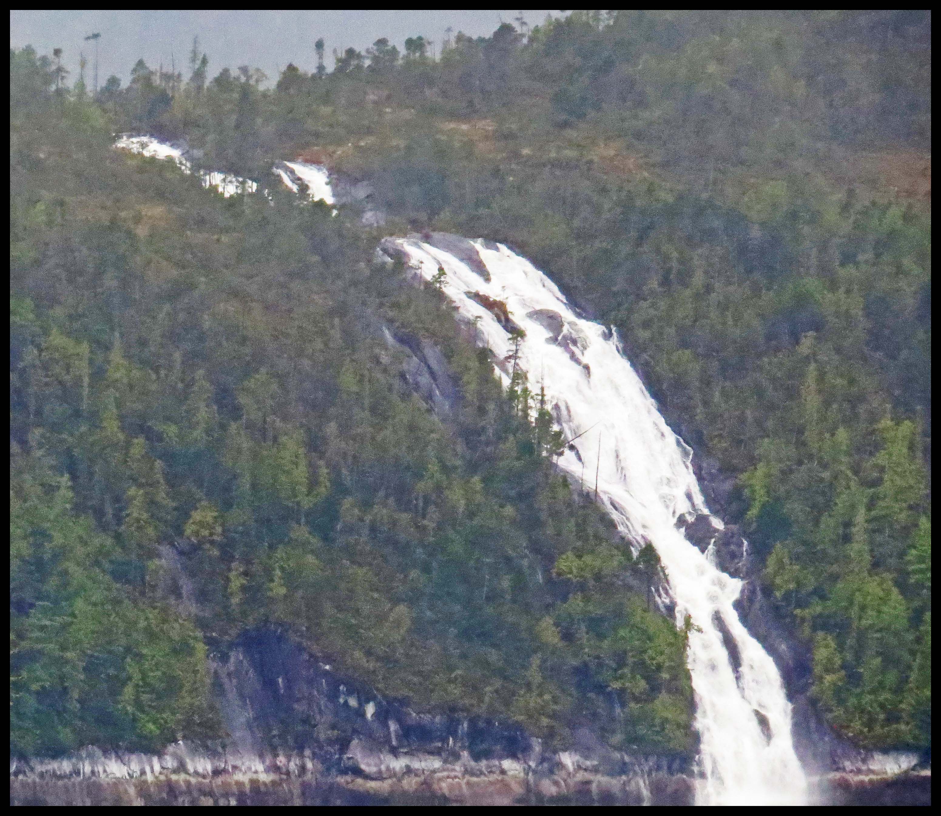
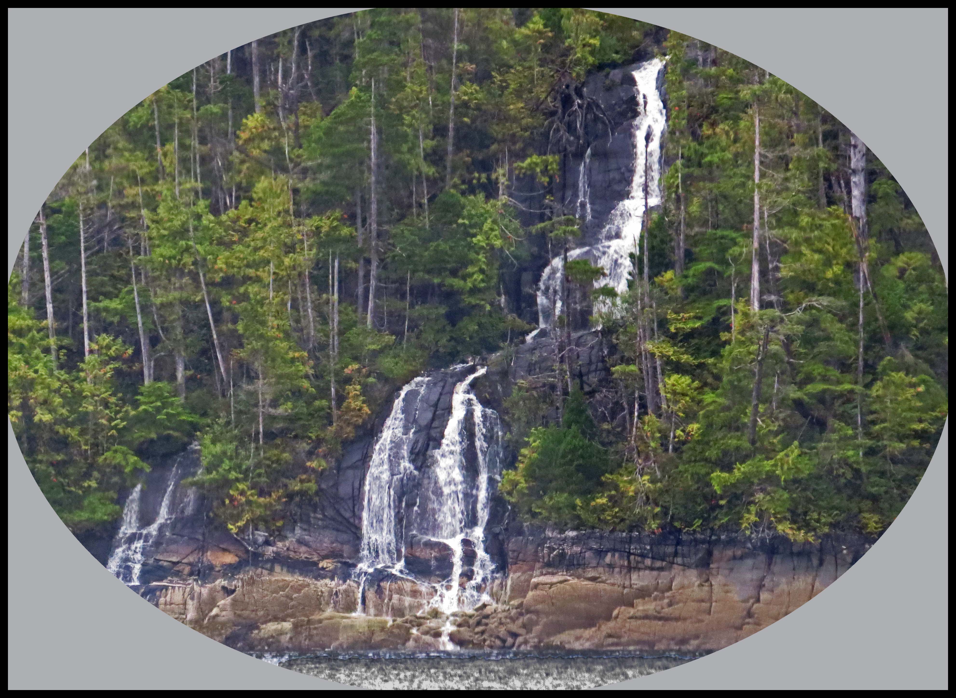
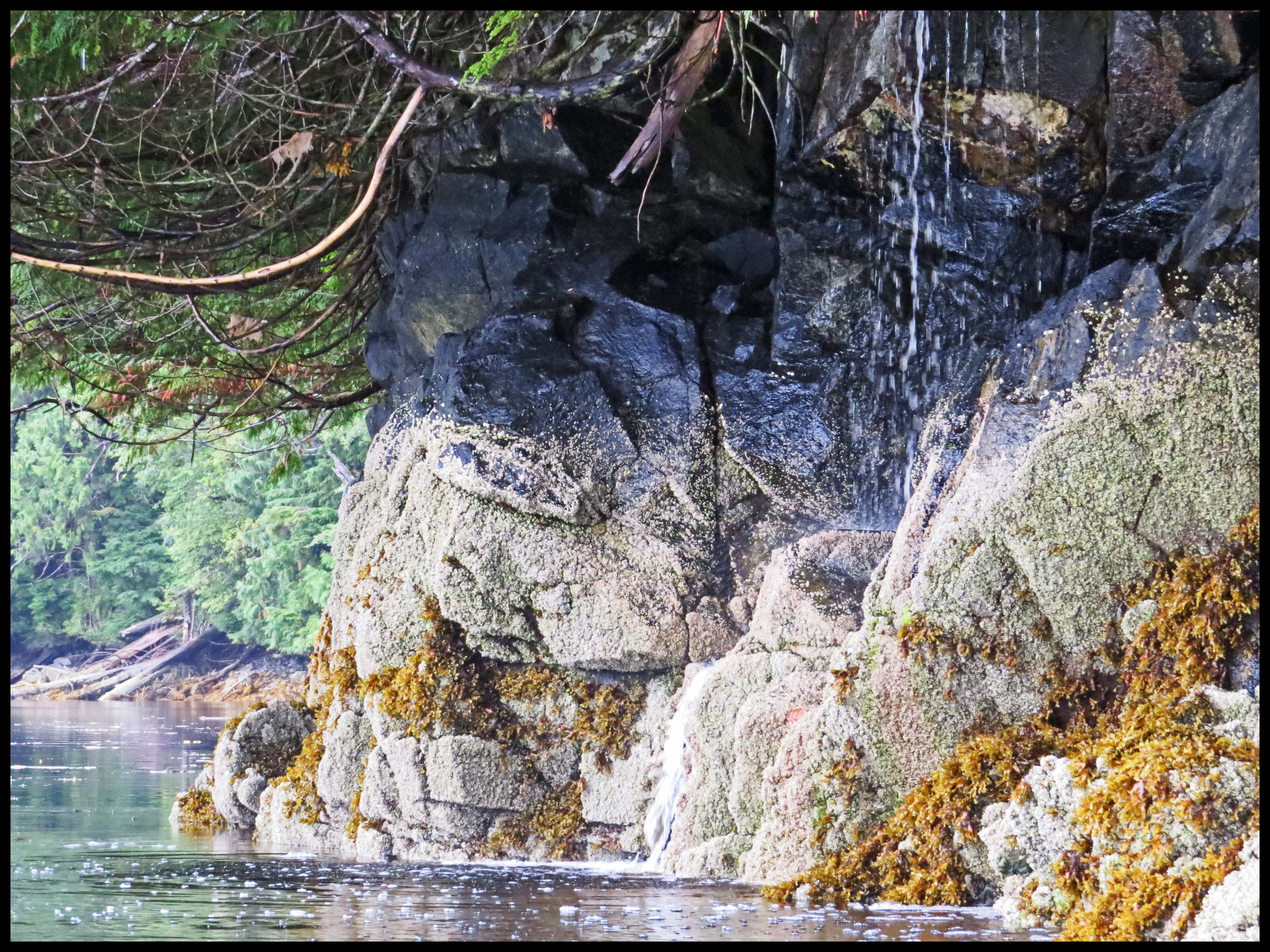
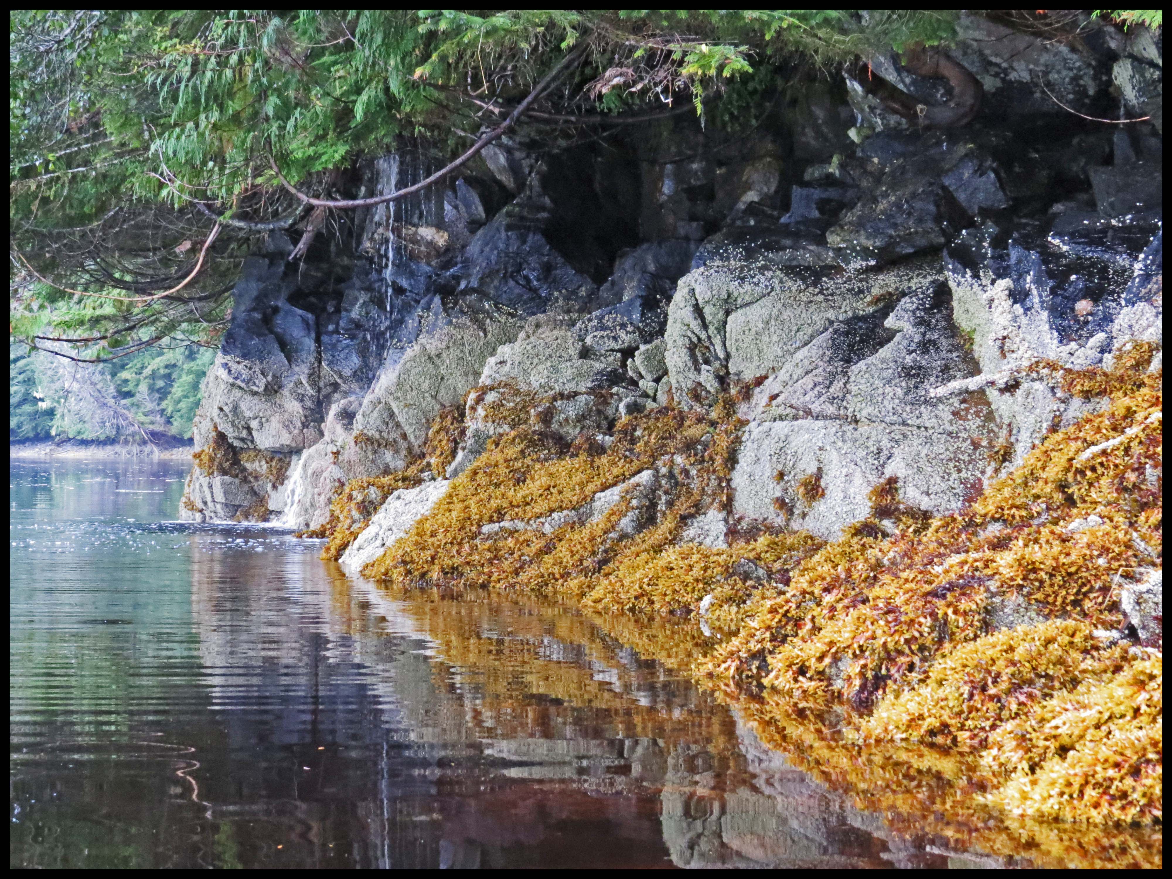
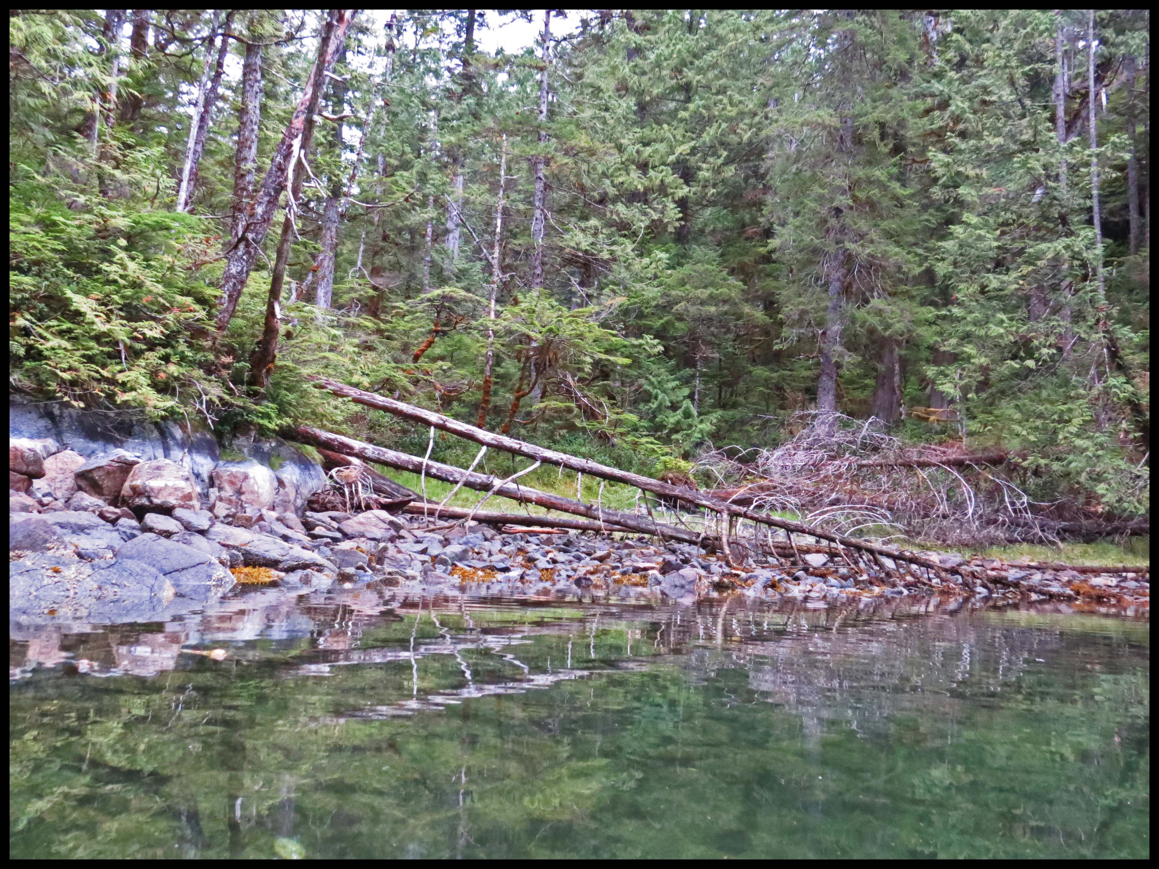
The anchorage at Smithers is pretty tight — not a good place to ride out a storm. So, we decided to move inside the narrows of Helmcken Inlet to anchor for the night.  I spotted this pair of pretty waterfalls near the entrance.

Helmcken2015-1

Soon after anchoring, the seas outside the anchorage flattened out, and the wind was down to about 10 knots. It was still early, about 1530 hrs. It’s only about 20 miles from Helmcken to the safety of Meyers Passage. The calm seas were calling to us. “Come on, you can easily make it to Meyers Passage.” Should we, or shouldn’t we? Well, we decided to go out and take a look. If it gets too nasty, we can always turn around and head back to Helmcken.  Right.

When we got outside, the seas were almost flat. The current, however, was against us, cutting our speed down to less than 6 knots at times. But, the seas were almost flat. So, we continued on. About 4 miles before we got to Laredo Sound, the winds started picking up. And, since we weren’t making our usual 8 knots of speed, we weren’t going to get across Laredo Sound before the tide changed. Al had already decided that if Laredo Sound was ugly, we’d head up the sound to the protected waters of Thistle Passage, rather than going straight across the sound to Meyers Passage. We’d made that mistake before and it was not fun.

About a mile from Laredo Sound I could see huge breaking seas up ahead. By now we were starting to take the seas on our beam. Not good. And, the closer we got to the sound, the bigger the seas. We should have turned around and headed back to Helmcken, but we didn’t. Big mistake.

Smither'stoMeyer's-1IMG_3172_edited-1

Laredo Sound is filled with numerous rocks and islets. Al was doing his best to miss those rocks and islets, but the beam seas were making steering impossible at times.  It was high tide, so not all of the rocks were visible. Al assured me that with the high tide, we’d clear them easily. I was not so sure. So, while Al was fighting the wheel, I had my eyes glued to the little boat icon on the electronic chart which shows our position in relation to all those rocks and islets, including the ones that were hiding beneath the surface. The seas were taking us right between two of those submerged rocks that were fairly close together. I was hoping Al could get us between those rocks, just in case there wasn’t enough water over them. I don’t know how he did it, but Al managed to make it between those rocks, barely, and on up Laredo and into the protected waters of Thistle Passage without broaching. Hallelujah!

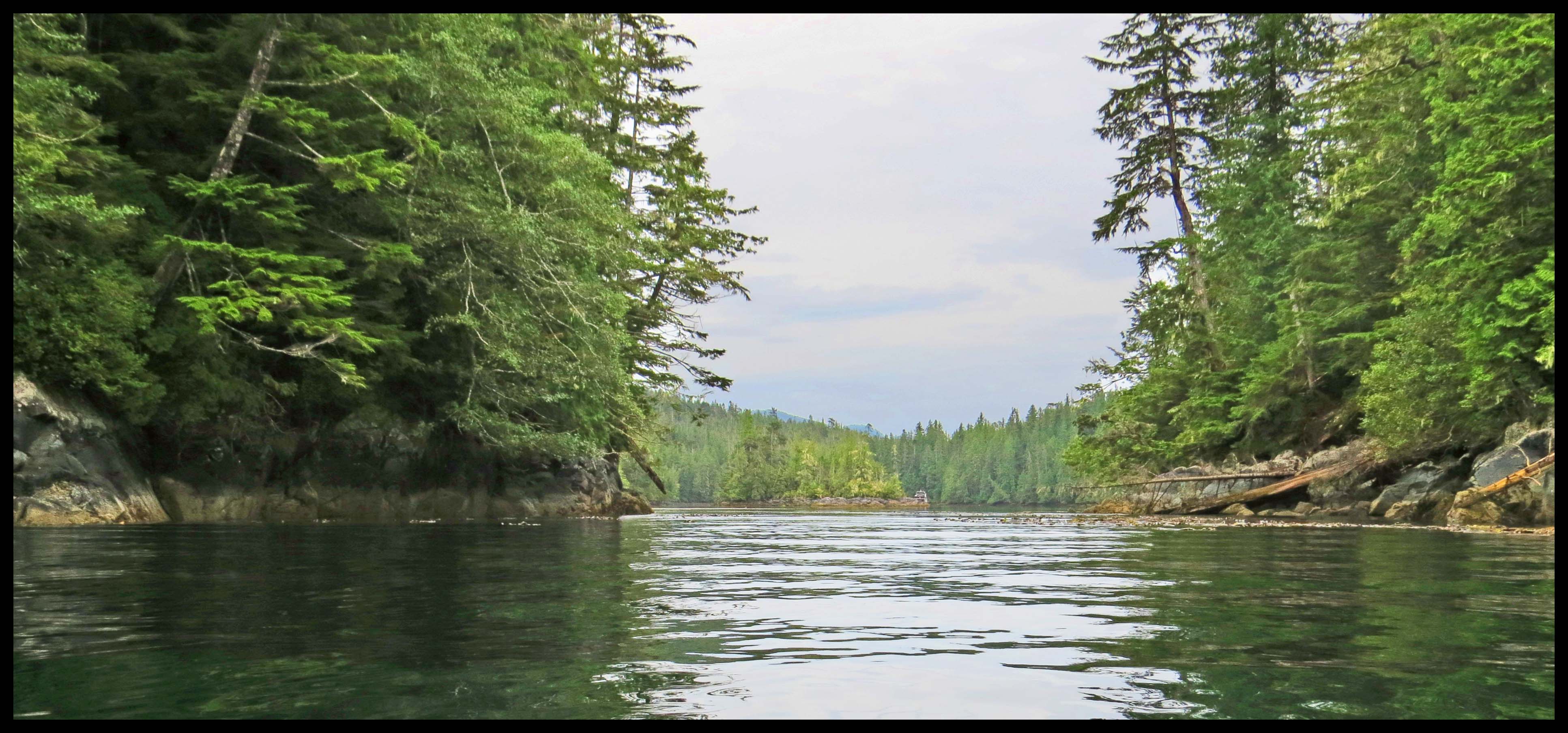
The calm waters of Meyers Passage never looked so good. We decided Meyers Narrows Cove woud be the perfect place to spend this stormy night.

Smither'stoMeyers2015-2

August 28-30, 2015 – Kiln Bay, Chapple Inlet

The wind has dropped enough this morning for us to move to nearby Kiln Bay, where we have spotted Kermode bears in past years. Unfortunately, however, the wind picked up again soon after we got re-anchored. And, the rain that the salmon have been waiting for arrived, big time.

Chapple2015-51

Chapple2015-50

So, we hunkered down and did a lot of reading, and listened to the weather reports, wondering if there was ever going to be an end to this train of storms.

After four days, the rain lightened to sprinkles, and the wind dropped to 10 to 15 knots. So, I suited up for a paddle around Kiln. First, I headed for the creek at the head of Kiln.

Chapple2015-68

Chapple2015-67

I spotted this immature eagle looking for salmon working their way up the creek. Sadly, the salmon just haven’t shown up in the usual numbers. And, the salmon we’ve seen have been small.

Chapple2015-69-IMG_3124_edited-1

Chapple2015-70-IMG_3134_edited-1

Chapple2015-71-IMG_3145_edited-1

As I was poking around, I found several other creeks.

Chapple2015-59

Chapple2015-60-IMG_3109_edited-1

Chapple2015-62-IMG_3115_edited-1

I was surprised to see this little bird, which looks like a sparrow of some kind, looking for goodies at low tide.

Chapple2015-55

Chapple2015-56-IMG_3099_edited-1

Chapple2015-57-IMG_3103_edited-1

After listening to the weather forecast this evening, we’ve decided to head south tomorrow, hoping to get at least as far as Helmcken Inlet.

August 27, 2015, Thursday – Bitter End, Chapple Inlet

There were only nine prawns in the trap Al pulled this morning — pitiful. Oh, well. As soon as we got the prawn trap back onboard, I set out on my paddle to the bitter end of Chappel, while Al pulled the anchor and headed in the same direction. I’m hoping to spot bears at the creek that empties into the bitter end anchorage. We’ll see.

Along the way, I spotted this immature eagle looking for salmon.

Chapple2015-30-IMG_3061_edited-1

When I got to creek I poked around and found that there are actually three creeks. I never saw any bears, but I did come across these Honkers who had landed to enjoy the grass.

Chapple2015-31-IMG_3066_edited-1

Chapple2015-33-IMG_3067_edited-1

Chapple2015-34-IMG_3070_edited-2

Chapple2015-35-IMG_3071_edited-2

Chapple2015-36-1

The wind seemed to be building, so I headed back to the boat. It turned out to be a good decision, because within an hour, storm force winds struck. The wind blew like stink all day. When darkness fell, the wind picked up, gusting up to 55 knots. It was bad enough during the day, when we could take bearings on the shoreline to verify that our anchor was holding; but in the dark, moonless night, it was downright frightening.

Around midnight, the winds dropped to 20-30 knots, tolerable enough to get some sleep.

August 26, 2015, Wednesday – Chettleburgh Cove, Chapple Inlet, Princess Royal Island

Wall-2-wall blue skies greet us this morning, with a 12-knot wind blowing out of the north. I set out for Emily Carr Inlet, about a mile and a half south of here. There wasn’t much current, and the wind was behind me strong enough that I didn’t even have to paddle. It took me about 45 minutes to float to Emily Carr. The trip back to the boat, however, will be another story, because I’ll have to paddle into the wind. With this in mind, I didn’t have a whole lot of time to explore.

Chapple2015-9

Just inside Emily Carr, I came across this family of Mergansers, a very pretty female Kingfisher, and Fireweed.

Chapple2015-3

Chapple2015-8

Chaple2015-5

Chapple2015-13-IMG_3019_edited-1

Chapple2015-16-IMG_3023_edited-1

Chapple2015-17-IMG_3026_edited-1

Chapple2015-19-

August 25, 2015, Tuesday – Clarke Cove, Princess Royal Island

It didn’t take long to paddle around Clarke Cove this morning. I checked out the current in the entrance channel to make sure I could handle it.  The current was only rynning about a knot, so  I had no problem paddling on out.

Clarke2015-32-Untitled-1

I don’t know what kind of berry this is. I’ll have to Google it.

Clarke2015-18

Clarke2015-36-1

There are three creeks here, but none of them had much water in them.

Clarke2015-1-IMG_2862_edited-2

Clarke2015-16

Clarke2015-41a-IMG_2973_edited-1

And, there are a couple of picturesque islets.

Clark2015-38a-IMG_2957_edited-2

Clarke2015-40-IMG_2969_edited-1

I watched a very small fishing boat leave this morning. He’d apparently arrived late last night.

Clarke2015-29-IMG_2916_edited-1

A very adventurous fellow in an inflatable sea kayak arrived this morning.

Clarke2015-44-IMG_2996_edited-1

Clarke2015-49-IMG_2999_edited-1

Clarke2015-49-IMG_3004_edited-1

Unfortunately, we were pulling our anchor when this fellow arrived. It would have been very interesting to hear about his trip.

We decided to take advantage of the good sea conditions and head for Chapple Inlet this morning, just another 9 miles down the coast.

There weren’t any boats when we arrived at Chettleburg Cove, but we watched a large yacht go by, probably headed for Kiln Anchorage, just a couple of miles further into the inlet.